Tahoe/Shirttail Creek
Iowa Hill Rd, Foresthill, CA, United States
From $24 / night

From $24 / night
Save up to 20% at Good Sam Campgrounds
when you open and use a Good Sam Travel Visa Signature® Credit Card: Annual Fee: $2491
10% back in points on reservations at participating Good Sam affiliated campgrounds2
10% off the nightly rate with your Elite Membership*

Campground details
Open
May 18 - Nov 15
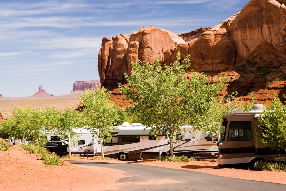
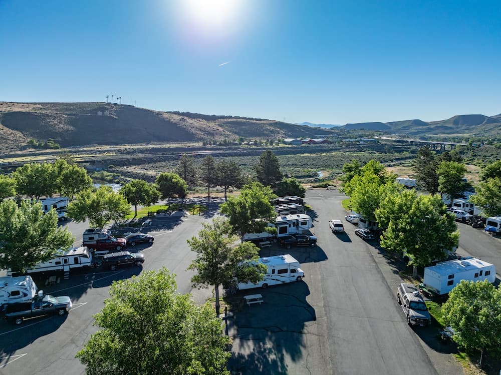
National forest
Top Deals & Attractions
Additional info
Iowa Hill Rd
Foresthill, California, 95631
Coordinates:
39.143127, -120.786596
Elevation:
3700 ft